Model type
Detector
Maximum area / minimum area
Max- 1000 sq. km.
Min- 2 sq. km.
Average time of request execution
About 30 minutes
Price
50 $ per 1 sq. km.
Overview
Model description
A model for deforestation detection. Pixel-by-pixel segmentation of optical data. Compare the difference between forest cover and classify it as clear-cut or not.
Selecting the date
To run the model, users need to select a date range (two dates).
Output
The GeoJSON with detected clearcut polygons in following period.
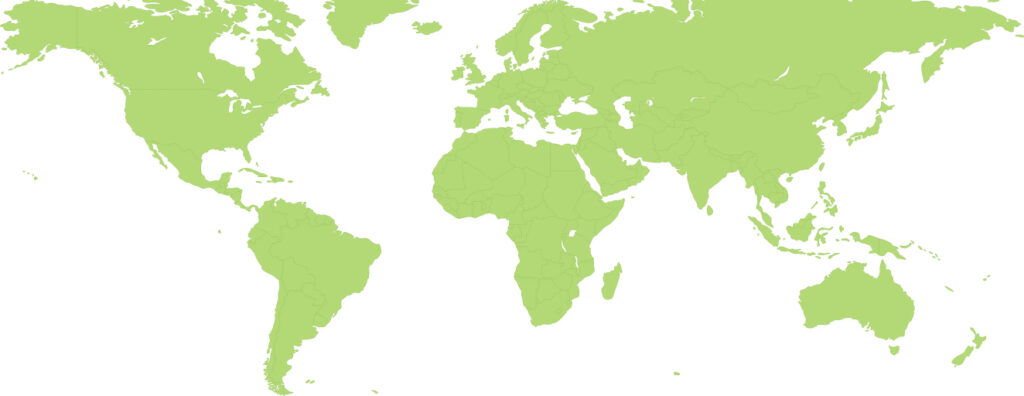
Available geographical region
Technical information
Technical description
For deforestation detection We apply an innovative semantic segmentation neural network.
Spatial resolution
Spatial resolution: 10m per pixel
Input data sources
Optical: Sentinel-2,
Accuracy
Thematic accuracy: variable, ~92%