Model type
Calculation
Maximum area / minimum area
Max – 1000 sq.km
Min – no limitations
Average time of request execution
About 5 minutes
Price
10 $ per 1 sq. km.
Overview
Model description
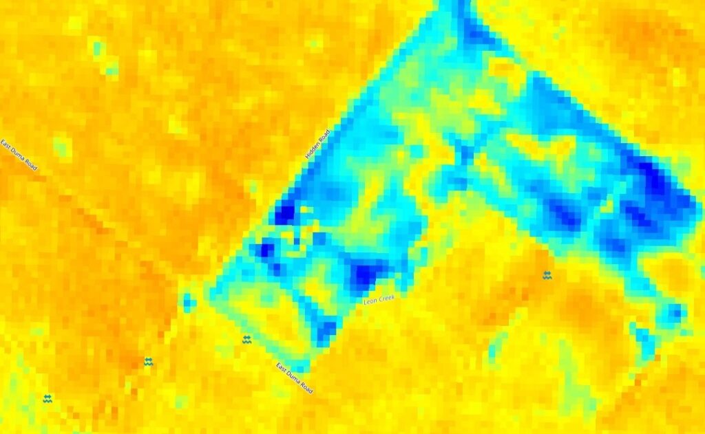
A temporal anomaly-detection model that uses SoilMate to identify persistent, local decreases/increases in near-surface moisture consistent with oil release (surface/near-surface hydrocarbon contamination).
Selecting the date
To run the model, users need to select one date.
Output
Raster “Leak Probability” map (same extent/resolution as moisture index) with per-pixel probability [0–1] and Vectorized candidate leak polygons with attributes: probability, earliest detection date, persistence (days), peak anomaly magnitude.
Available geographical region

Technical information
Technical description
The model combines: pixel-wise moisture index change detection, vegetation/optical indices (to reject vegetation stress), precipitation and irrigation masks, and spatial-context rules (cluster size, persistence) to produce leak-probability maps and alerts.
Spatial resolution
Spatial resolution: 10m per pixel
Input data sources
Optical: Sentinel-2,
Accuracy
Thematic accuracy: variable, ~92%