Model type Calculation Maximum area / minimum area Max – 1000 sq.kmMin – no limitations Average time of request execution About 5 minutes Price 10 $ per 1 sq. km. Overview Model description A temporal anomaly-detection model that uses SoilMate to identify persistent, local decreases/increases in near-surface moisture consistent with oil release (surface/near-surface hydrocarbon contamination).… Continue reading Oil leak
Category: Uncategorized
Stone detection
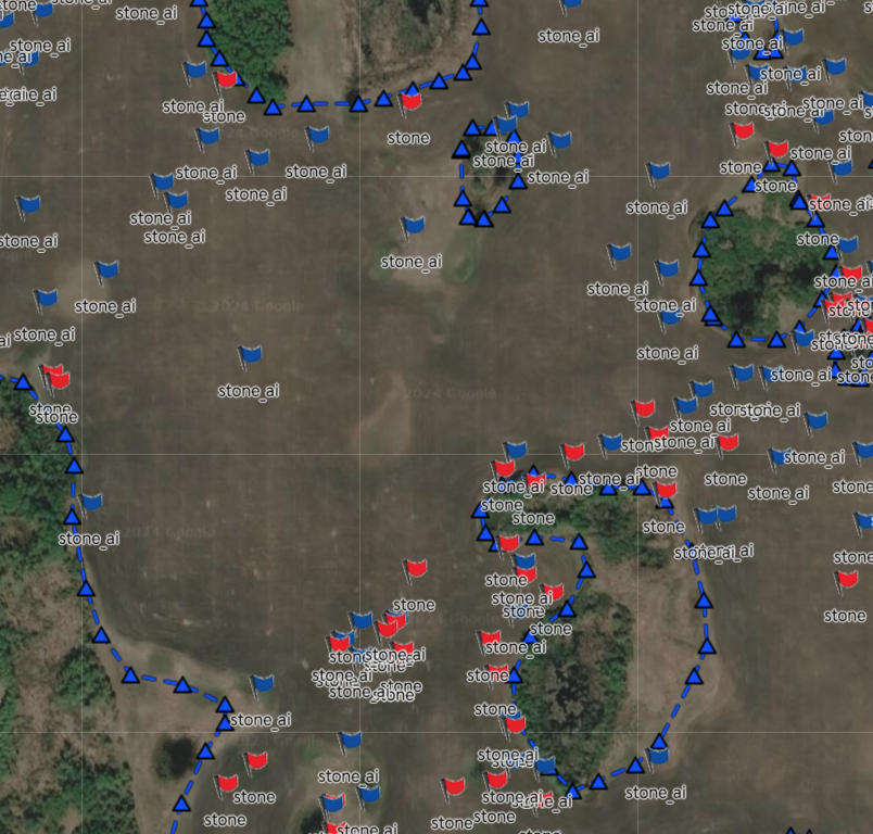
Detects stones in the image. Assigns a coordin…
LandUse/LandCover
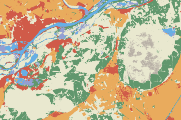
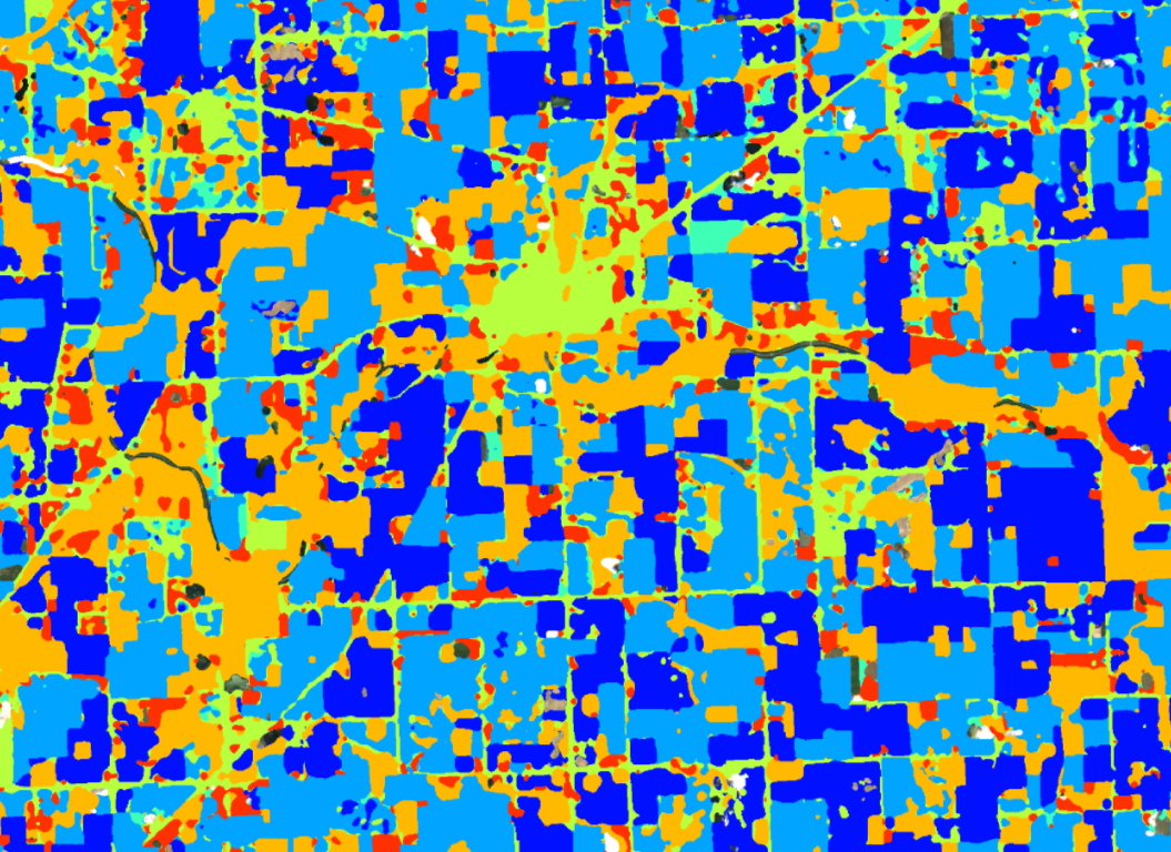
Provide information to help users understand the current state of the landscape…
Net Forest Carbon Sequestration
The model provides information on the net carbon sequestration by the forest…
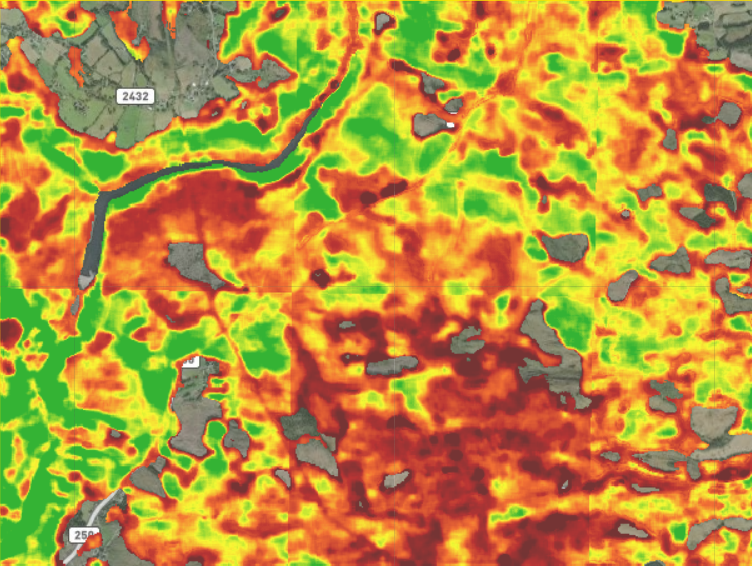
Moisture index
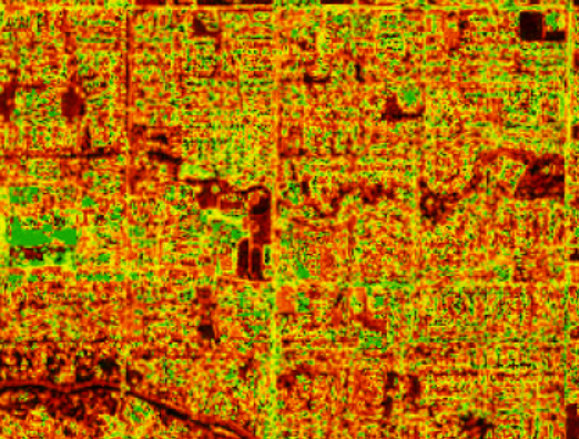
Determines the moisture index of the topsoil…
Blooming index
Calculates the intensity of white blooms, such as trees with white flowers, white flowers…
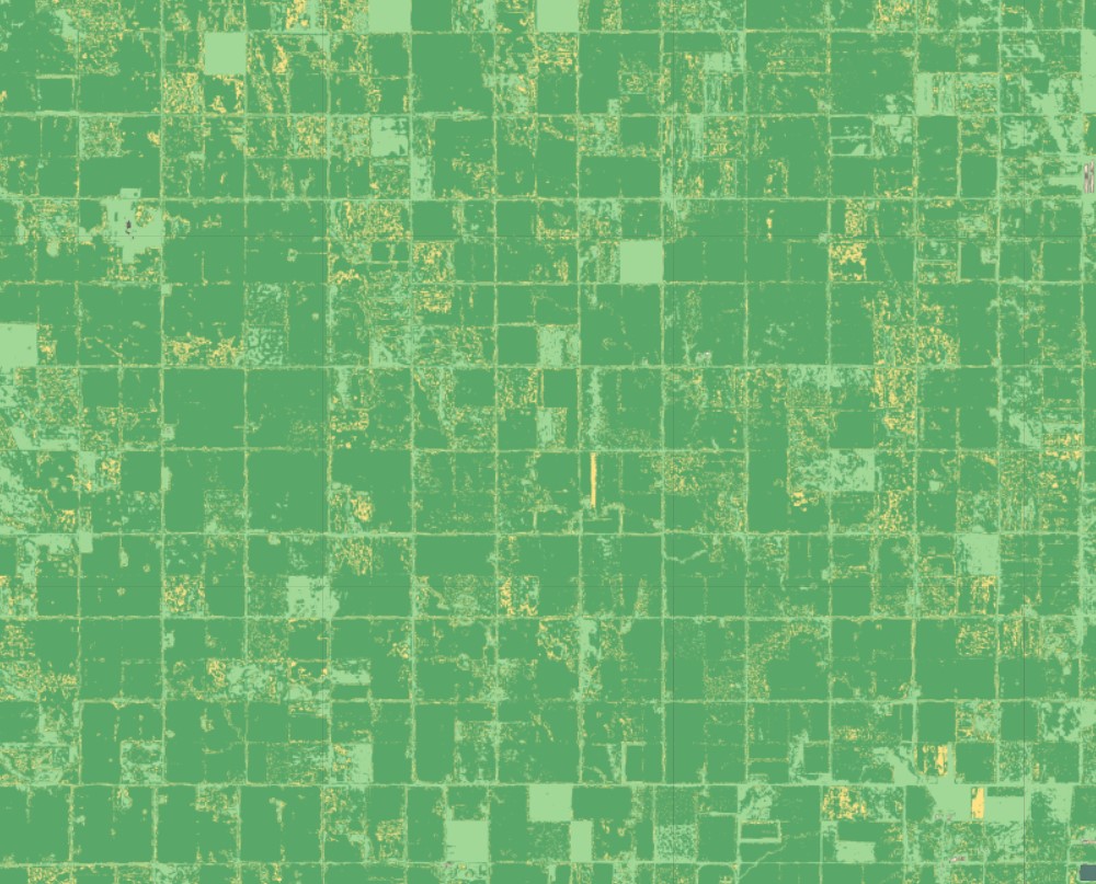
Plot boundary
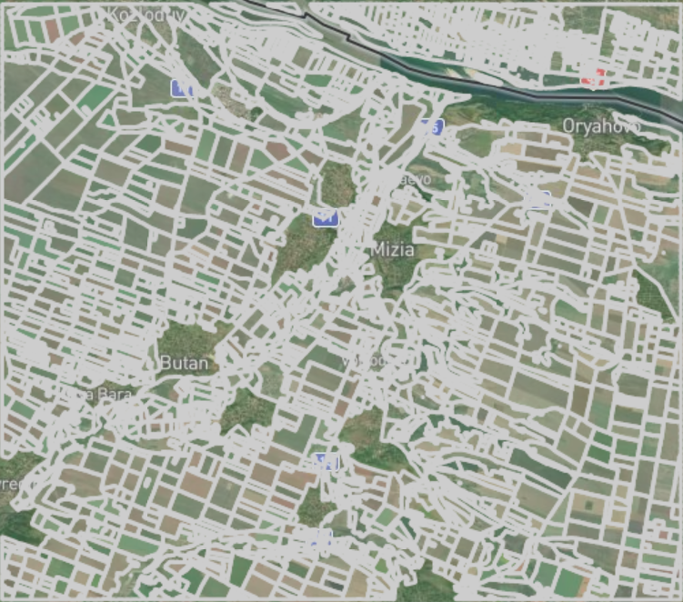
Model detects boundaries of agricultural fields during the growing season…
Crop Type
The crop type detection service provides information on types and location of crops grown…
Basic Objects
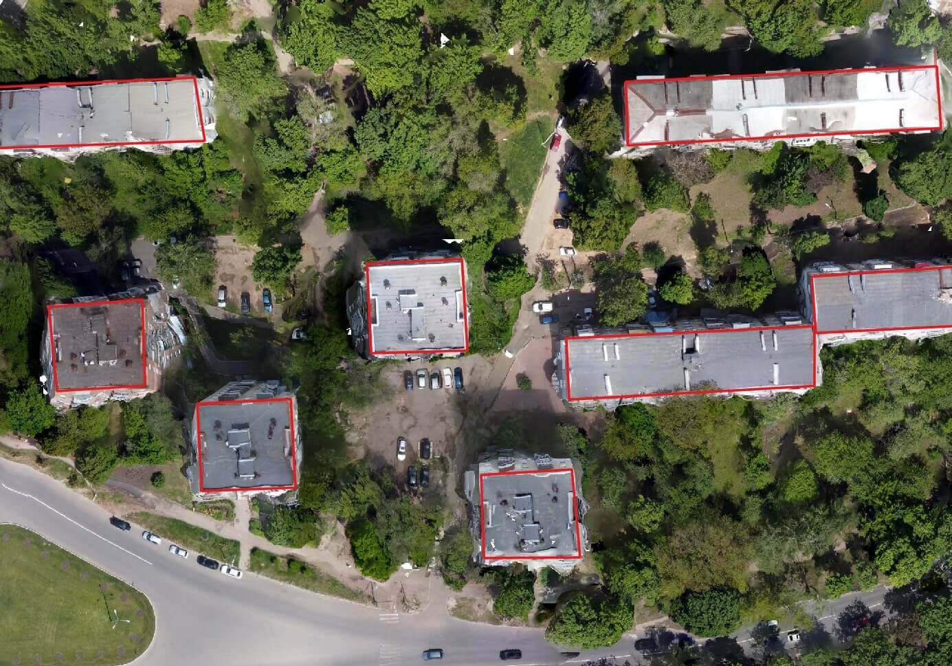
Detects the most visible classes with a resolution of 0.3-0.5 m per pixel…
Deforestation, afforestation
A model for deforestation detection. Pixel-by-pixel segmentation of optical data…